

In the southern Indian state of Tamil Nadu, fishermen are adapting to modern challenges with ancient wisdom by embracing smartphone apps to map their ancestral lands. Official government maps may showcase roads, power stations, and lighthouses, but they often overlook the cherished spots where generations of fishermen have conducted their maritime rituals. Fearing industrial encroachment and changing government zoning rules, these fishermen are using technology to safeguard their way of life.
Bharath S. Raji, a third-generation fisherman from Pulicat Lake, Tamil Nadu, leads the charge. Armed with a smartphone, Raji and his fellow fishermen navigate the lakeside to pinpoint special locations like docks, net-drying areas, and shrines on Google Maps. Their efforts are a response to upcoming government zoning changes that threaten their industry and traditions.
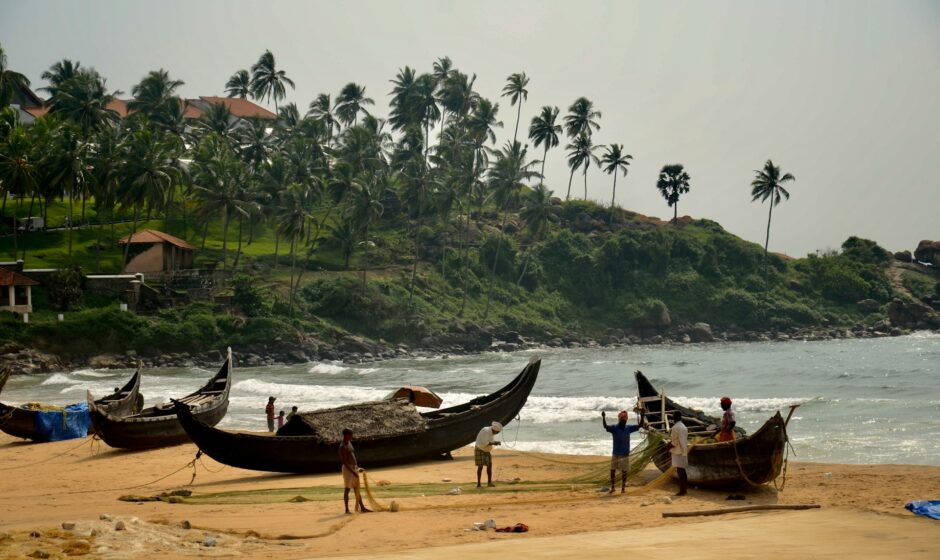
The fishermen of Gunankuppam village have documented hundreds of significant locations on various mapping apps, creating a grassroots map that contrasts with official government records. Industrial proposals, including a port and power plant, loom on the horizon, potentially disrupting the vibrant fleet of boats that ply the lagoon for mackerel and sea bass.
Ajay Anand, assistant director of fisheries in Thiruvallur district, acknowledges the shortcomings of official maps and applauds the community-led survey. The fishermen’s maps will undergo independent verification by the fishing department, ensuring their accuracy before potential adoption by the government.
The looming threat of industrialization challenges the traditional lifestyle of fishing villages like Gunankuppam, caught in the tussle between old and new India. Surrounded by foundries, thermal power plants, and shipyards, these villages symbolize the clash between timeless existence on the lagoon and the relentless pursuit of a high-tech future, underscored by India’s national space station visible on the horizon.
Saravanan K., a coordinator at the Coastal Resource Centre, a local environmental activist group, highlights the adverse impact of development on fishermen’s lives and livelihoods. Amid the government’s grand plans, the sea and river, once sources of sustenance, now face pollution. Saravanan leverages GIS software and mobilizes volunteers to map the land, empowering the community to counter encroachments.
The rapid adoption of mapping apps in these fishing communities is noteworthy, considering mobile phones only arrived in Gunankuppam in 2006. Yet, the proliferation of smartphones even in rural areas indicates a growing tech-savvy population, with an estimated one billion smartphone users predicted in India by 2026.
The fishermen draw inspiration from past successes, citing appeals to the National Green Tribunal that curtailed industrial activities in protected coastal areas. Their efforts have thwarted a thermal power station expansion into fishing zones and halted a private takeover of public waters.
Durai Mahendran, state president of the Tamil Nadu fisherman association, credits local mapping initiatives with safeguarding villages from rampant development. Fisherman Dayalan D. reflects on the transformative power of technology to protect their age-old way of life, emphasizing the importance of documentation through maps to substantiate their claims on the land.
As these fishermen embrace technology to navigate the changing tides, their maps become not just a tool for preservation but a testament to the resilience of communities in safeguarding their heritage against the waves of modernization.